madagascar
Madagascar island : Malagasy people are descendants of seafaring
Spend a day hiking in the countryside far away from the island’s coastline and ask for directions. You’re bound to be given the following sort of response : “continue north, and once you’ve arrived in X, head west…”
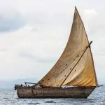
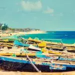
Such natural confidence when it comes to orientation can only come from descendants of seafaring. They were born with sixth sense which it comes to the points of the compass. Their boats ? Variations on a canoe with an elegant yet fragile design. They are used today to bring fishermen in Morondava and Nosy Be back to shore. Other versions of these boats can be found in Sri Lanka and the Tuamotu archipelago. The outrigger canoe is said to have been used by Maori ancestors as they made their way to New Zealand ! The canoes were used to travel to the distant shores of East Africa, with some sailors stopping once they reached Madagascar island.
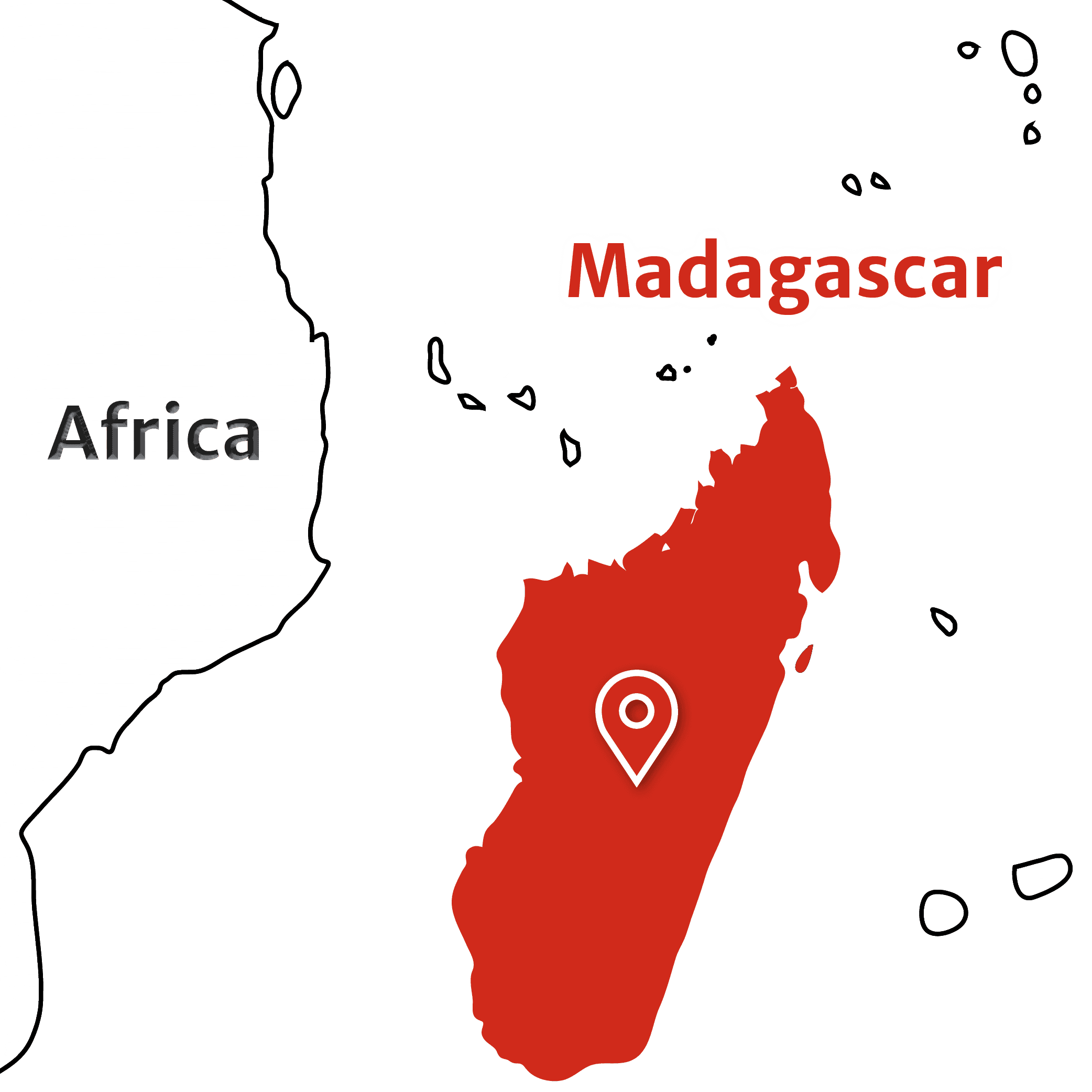
After the break-up of Gondwana, of which it was a part, the island became the fourth largest in the world with an area of 592,000 km² and 5,000 km of coastline.
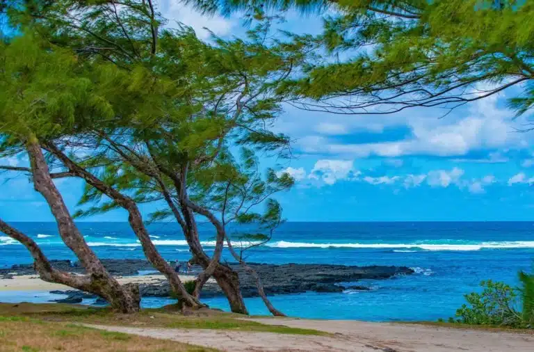
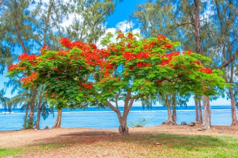
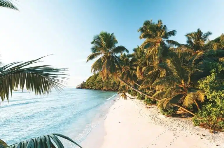
- In the east, with its scents of spices and tropical fruits, the beaches are home to lush tropical vegetation, splashed by the spray of the waves.
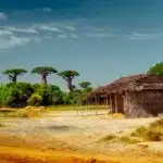
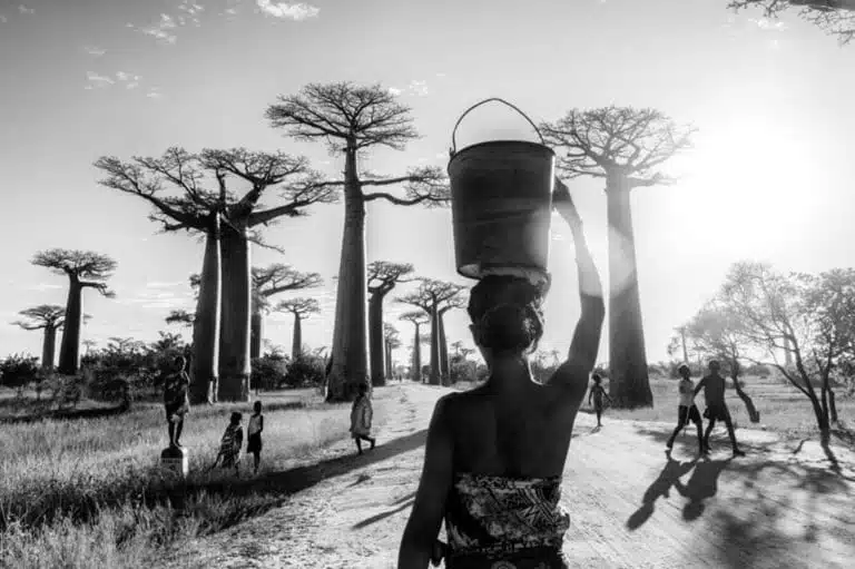
- In the west, the terrain slopes towards the quieter waters of the Mozambique Channel. It’s a land of great rivers, savannas and baobab trees.
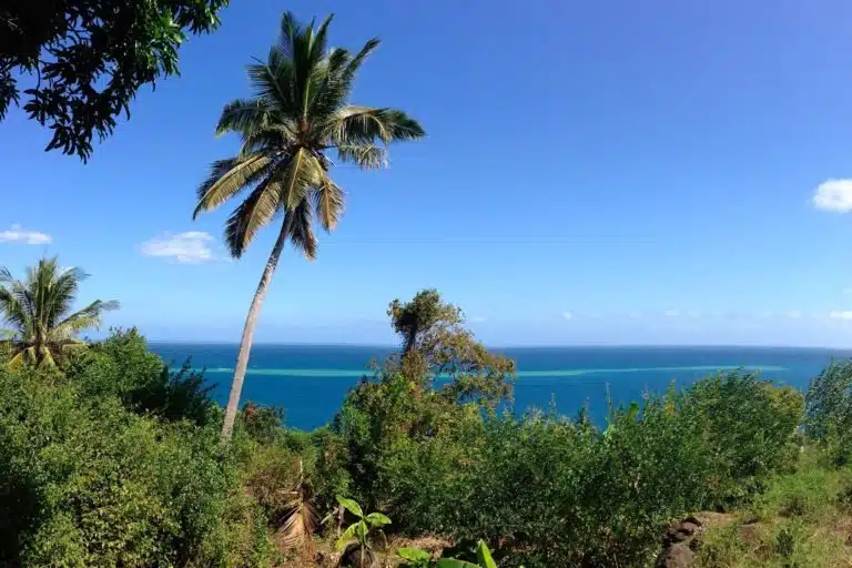
- The north is a microcosm of the island with its isolated mountains, fertile basins, bays and islets.
- The south, crossed by the Tropic of Capricorn less than 12km from Tuléar, is home to huge semi-desert areas and bush vegetation bordering on the unreal, with the sun shining down all year long here.
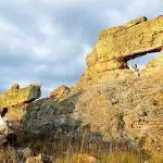
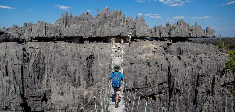
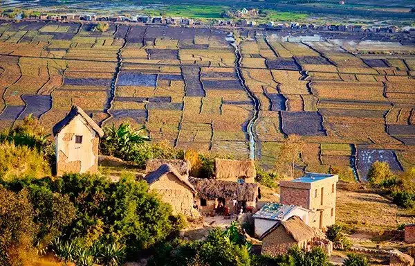
The historic centre of the island has been marked both by mankind and nature; it has contrasting landscapes, some of which have been affected by erosion. But this very same phenomenon has also had an artistic impact, sculpting world-famous wonders ! These include the Tsingys, limestone forests with razor-sharp peaks, and the incredible shapes of the sandstone rocks in Isalo National Park : the eagle-eyed will spot a boot, a window, a lion watching over his land and even a Queen, complete with mantle and crown !
Madagascar – An outstanding biodiversity
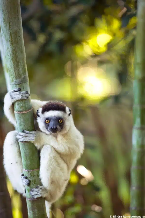
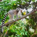
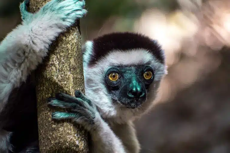
Madagascar’s geological position and insularity have helped exceptional biodiversity to develop in the country, with the island home to an estimated 90% endemic flora and 80% endemic fauna.
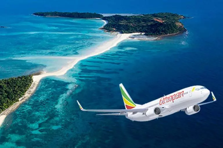
Unfortunately, and all too often, mankind is destructive. The intriguing and enormous red spot amidst the blue sea, which can be seen by passengers flying over Majunga, is caused by years of slash-and-burn agriculture and deforestation which have led to blood red earth being carried out to sea by the Betsiboka River.
Today, Madagascar island has decided to triple the size of its Protected Areas. Apart from being reservoirs of fauna and flora, they play other roles which are vital, if lesser known: they act as water towers, climate regulators and barriers to prevent silting. With the advent of ecotourism and concepts such as community-based tourism, they are also centres of local and even regional development.
Nature tourism represents more than 50% of the global tourism market and is growing at a faster rate than tourism to seaside resorts. Madagascar has plenty to offer on both fronts, which distinguishes it from many other destinations. Commander Cousteau had two expressions of his own to describe the country : the first, Pays de l’Oiseau-Roc (Country of the Rokh Bird), referred to the mythical bird of One Thousand and One Nights, which he likened to the aepyornis species — it continues to lay its giant eggs in the sands of southern Madagascar. The second, Ile des Esprits (Island of Spirits), was more focused on the somewhat enigmatic culture in which ancestral authority is omnipresent. Read from right to left, from the end to the beginning, the letters in the word Madagasikara, the Malagasy name for the country, spell out “following in Adam’s footsteps”.
